| Up in the mountains |
 |
|
|
|
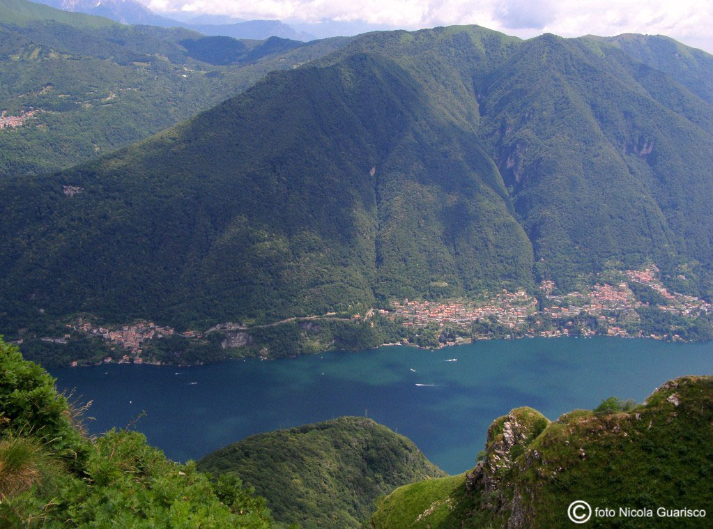
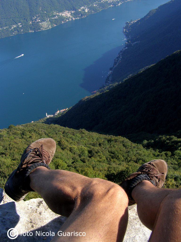
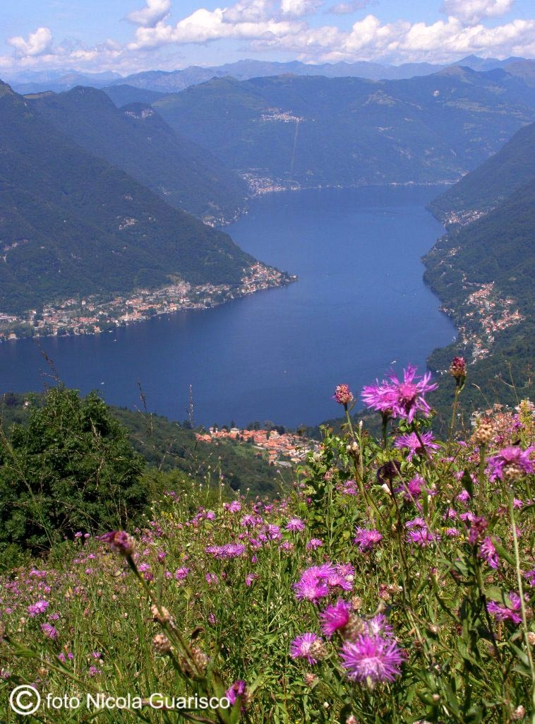
Photo in the left: view of the overhanging cliffs of Careno
and Pognana from Mount Colmegnone (1234 mt.). |
 |
|
 |
|
|
|
 |
|
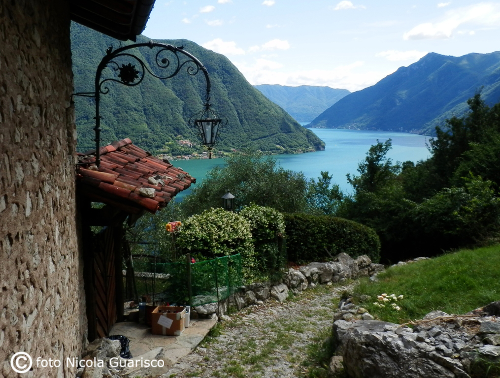
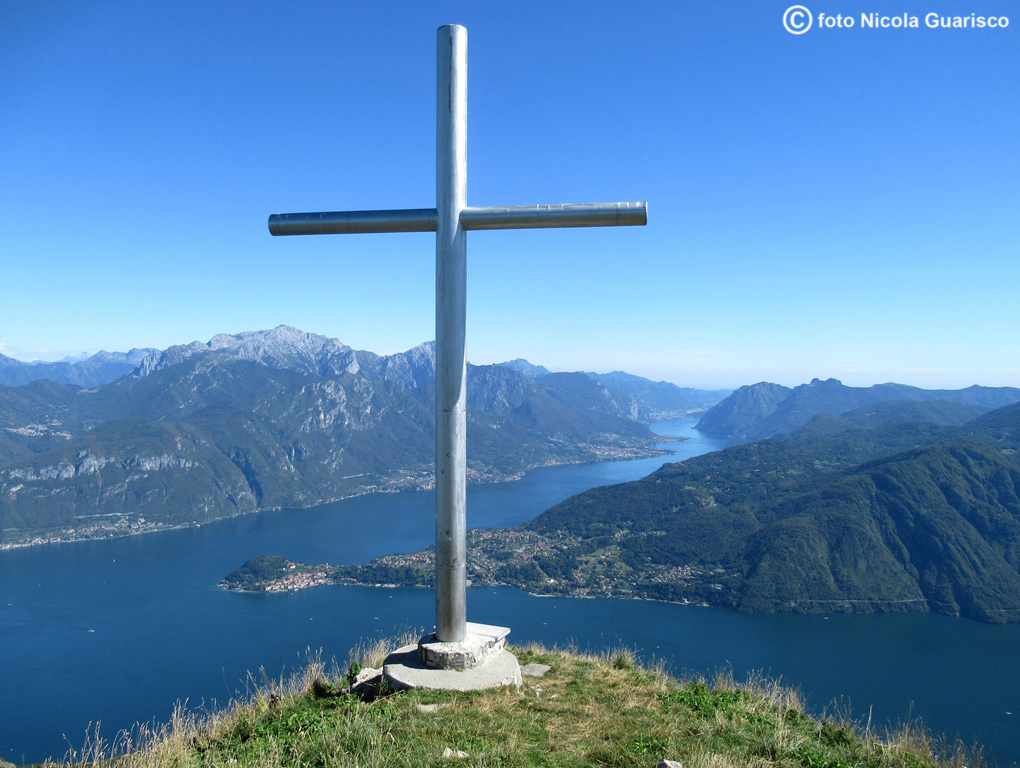
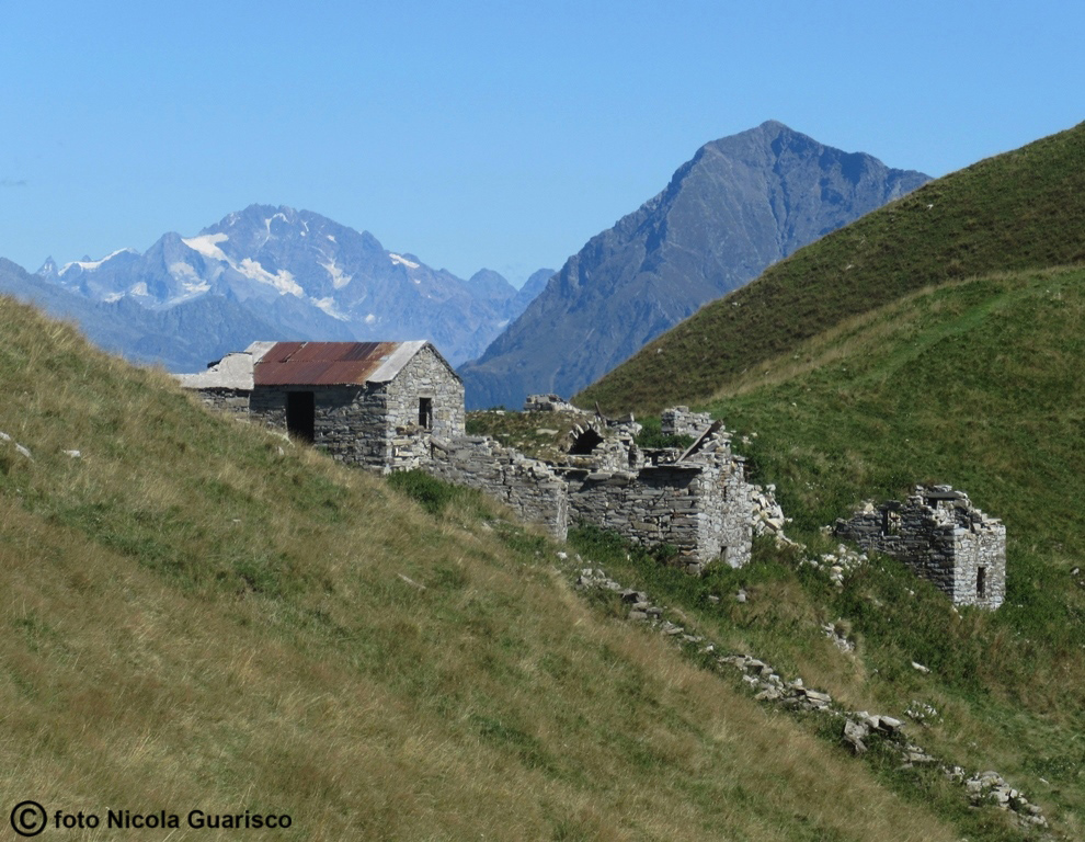
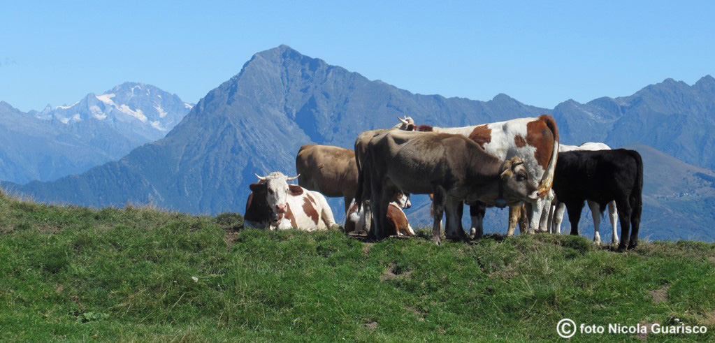
The Sala Comacina alp. Mount Crocione. The climb is difficult, yet it is one of the most wonderful experiences one can have. |
|
|
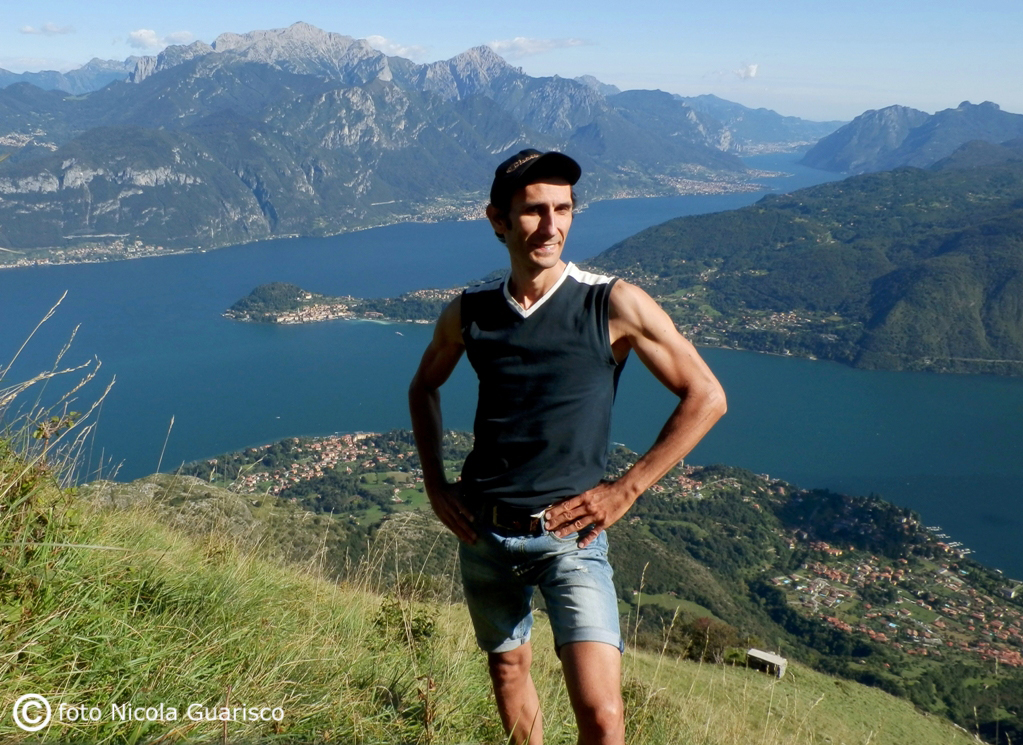
This is me enjoying the marvelous view from Mount Crocione after a 3-hour walk (1641 m.) |
 |
|
 |
 |
|
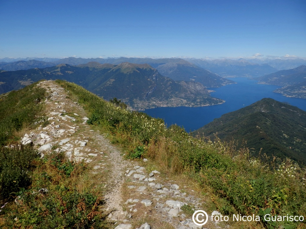
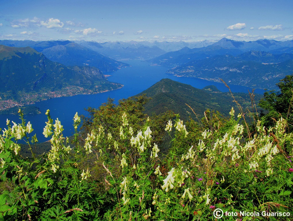
A wide panorama filmed from the peak of S. Primo mountain, the geometric center of the three branches of the lake. |
 |
 |
|
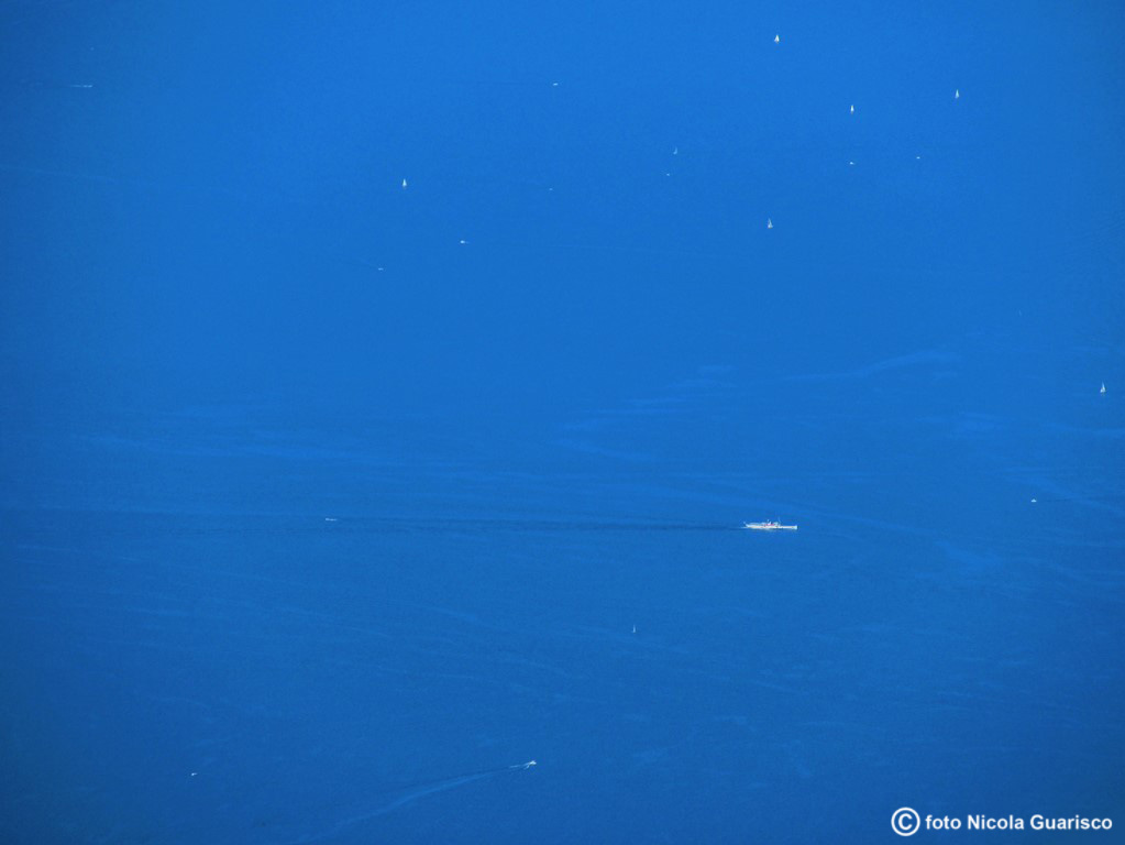
Ships and sailing boats amidst the blue... |
 |
|
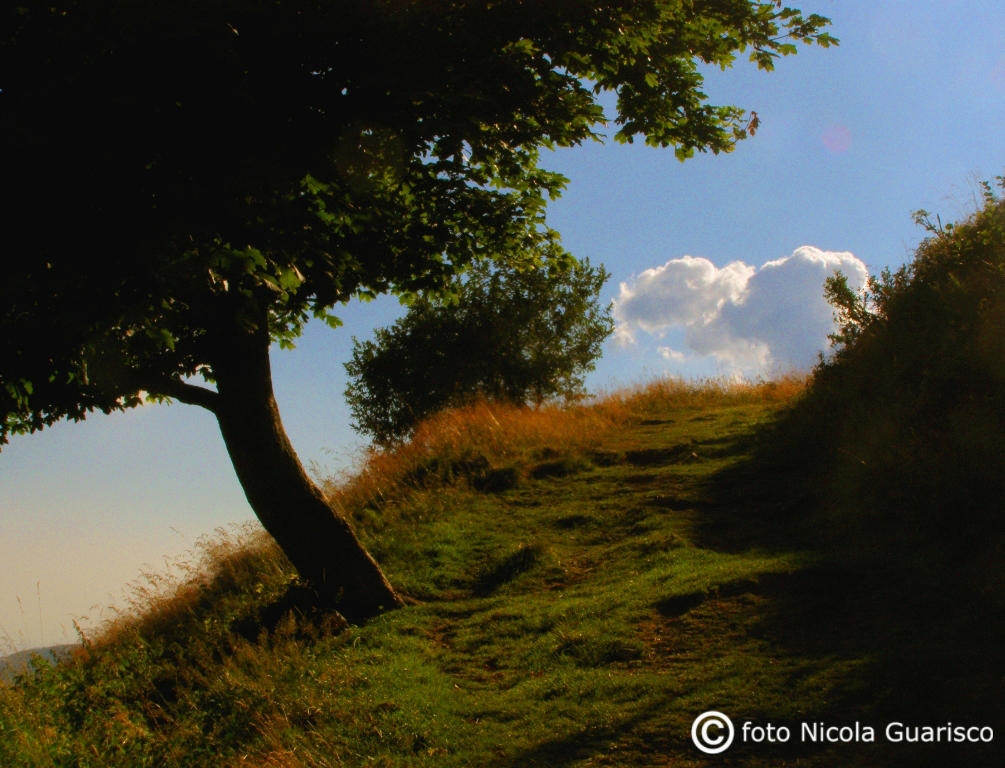
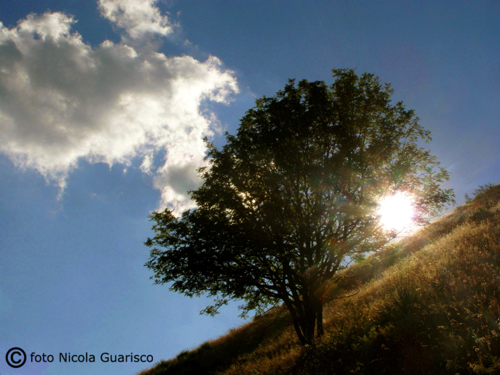
Clouds and trees. |
 |
|
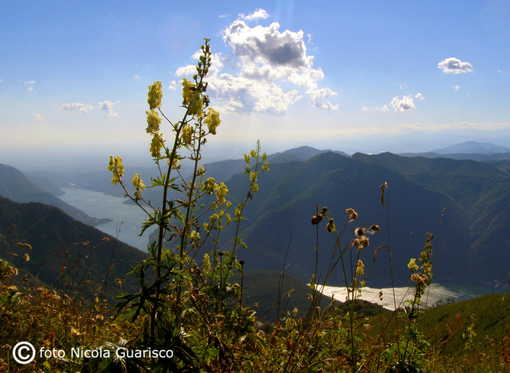
Afternoon light on S. Primo mountain, looking towards Como and Milan. |
 |
|
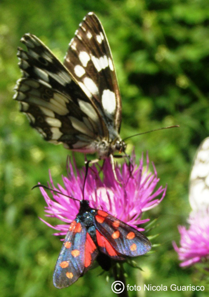
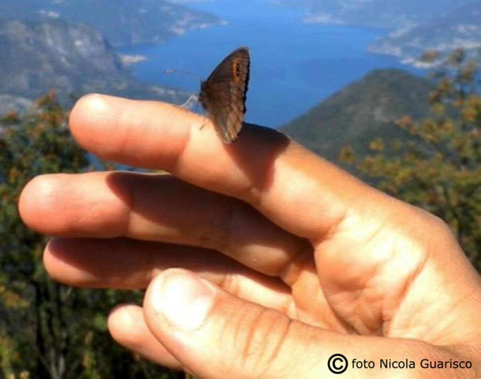
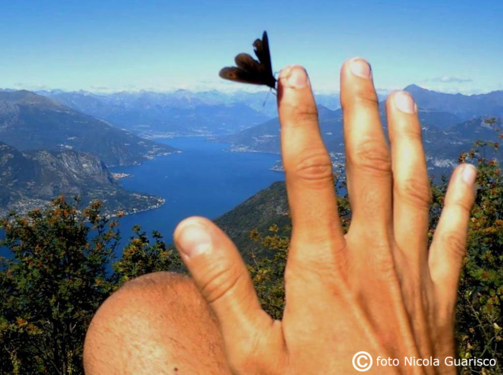
In the company of a butterfly with the upper part of the lake in the background. |
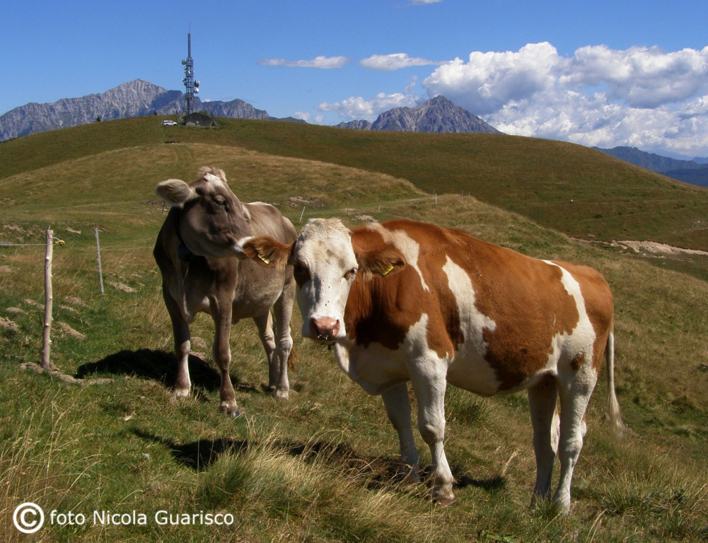
 |
 |
|
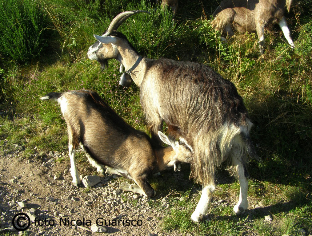
A herd of goats blocks the road to some English excursionists. |
 |
|
|
 |
 |
|
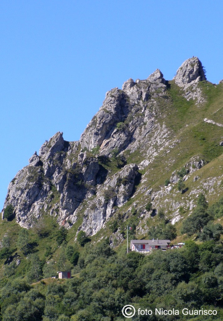
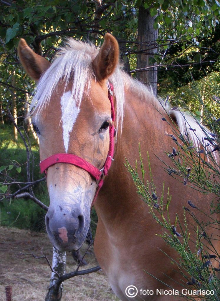
The Menaggio shelter dominated by mount Grona. A sweet gentle horse along the trail. |
 |
|
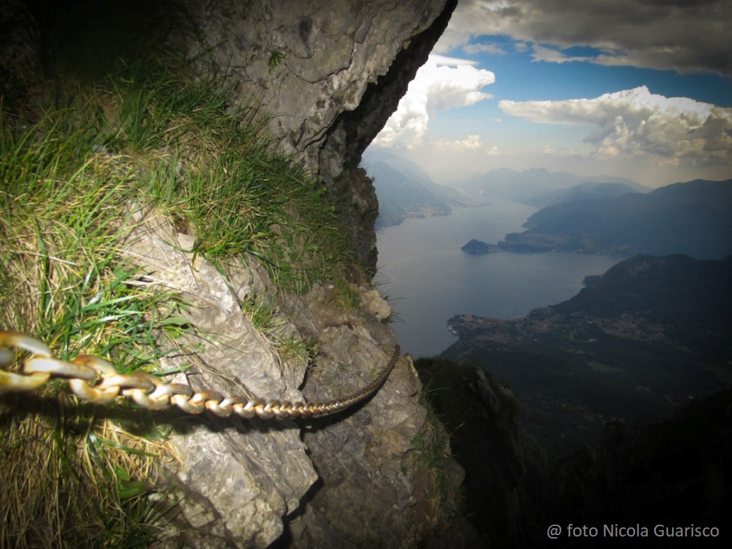
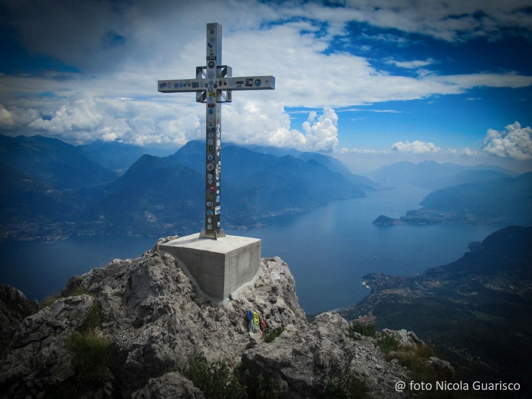
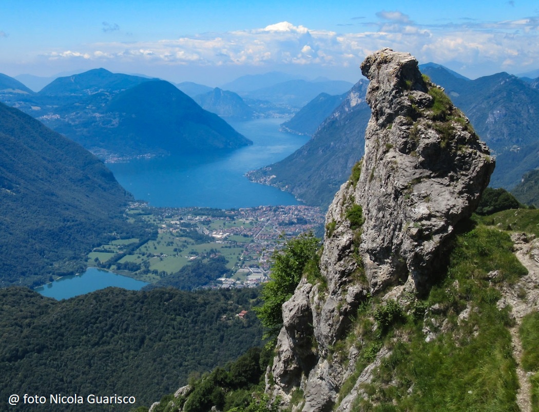
Mount Grona, climbing on the rocks. |
 |
|
 |
|
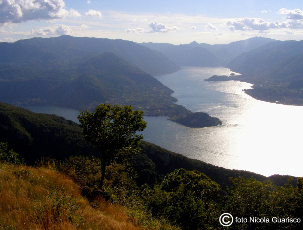
Sunset backlight viewed from the Sasso of Defendente (1321 mt.), |
 |
|
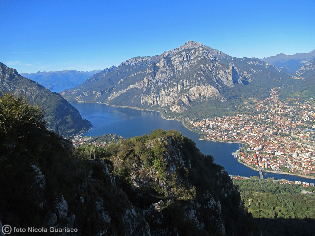
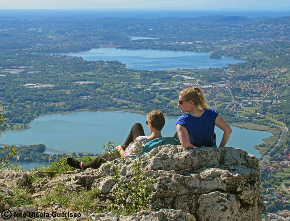
The beautiful landscape of Lecco, from Mount Barro. |
 |
|
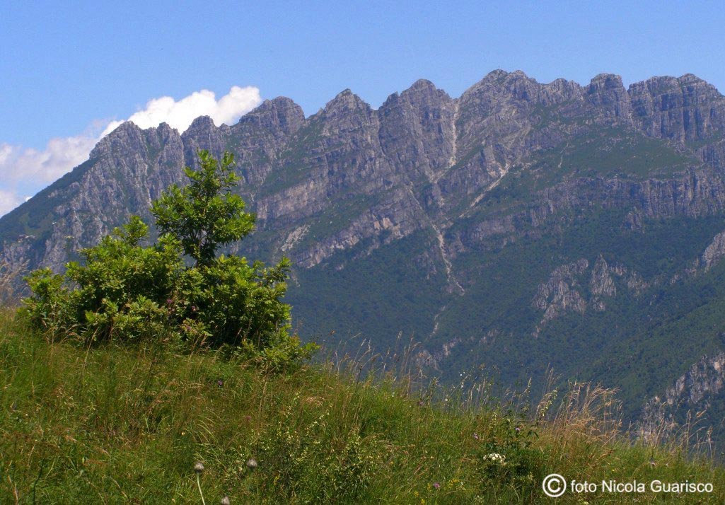
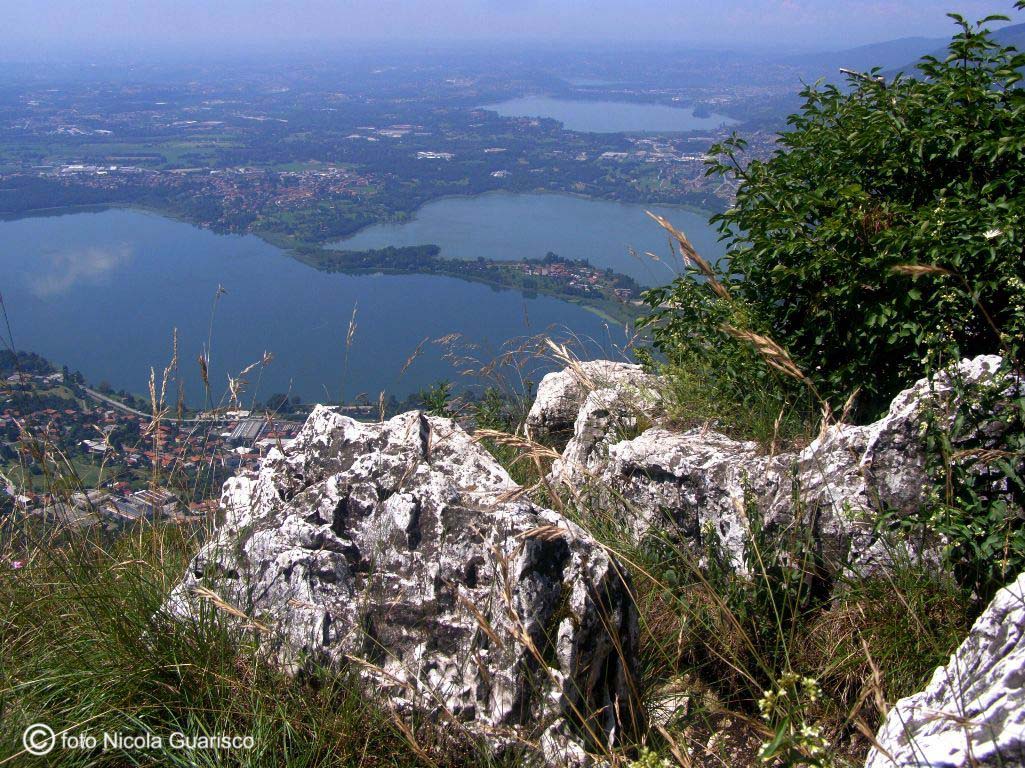
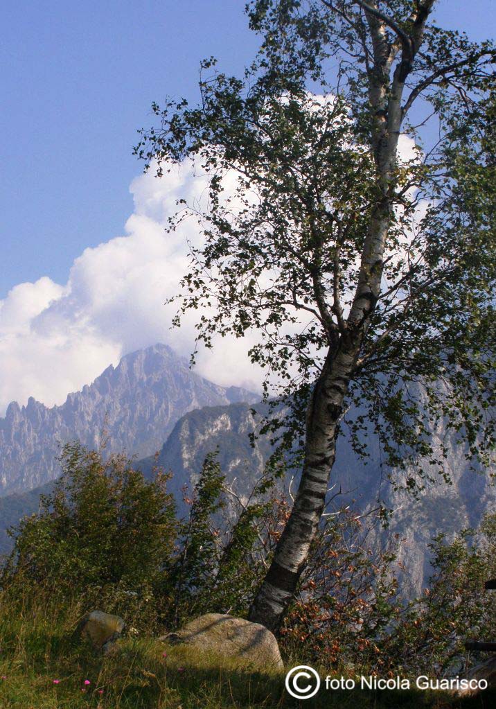
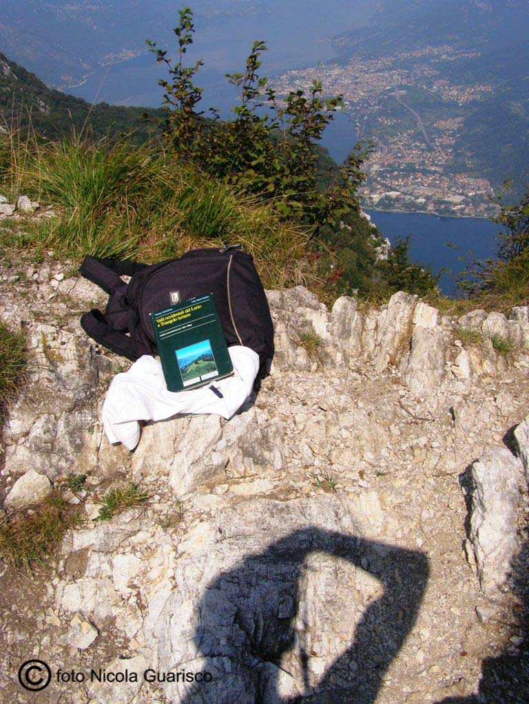
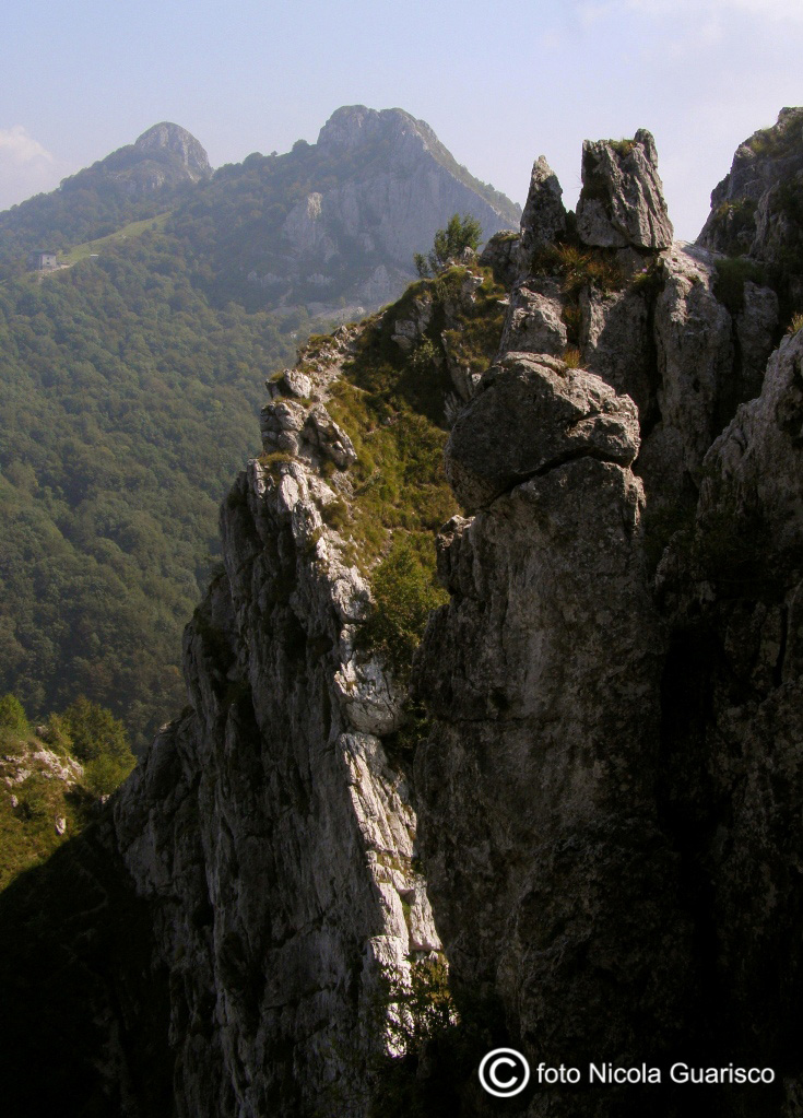
Lecco: view over the rocks of mount Resegone and the lakelets of Brianza from the tip of Mount Barro. |
 |
|
Mount Barro. The lakelets of Brianza. |
 |
|
 |
|
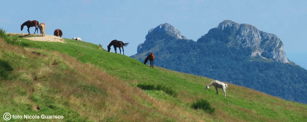
Wild horses and the Corni di Canzo in the background. |
 |
|
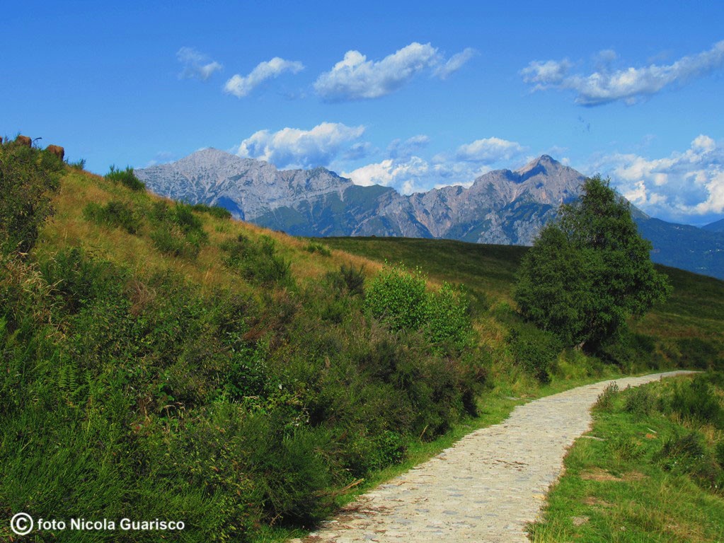
The rocks of the Grigna Mountains form a sharply outlined background. |
 |
|
The Grigna in winter: a small Himalaya. |
 |
|
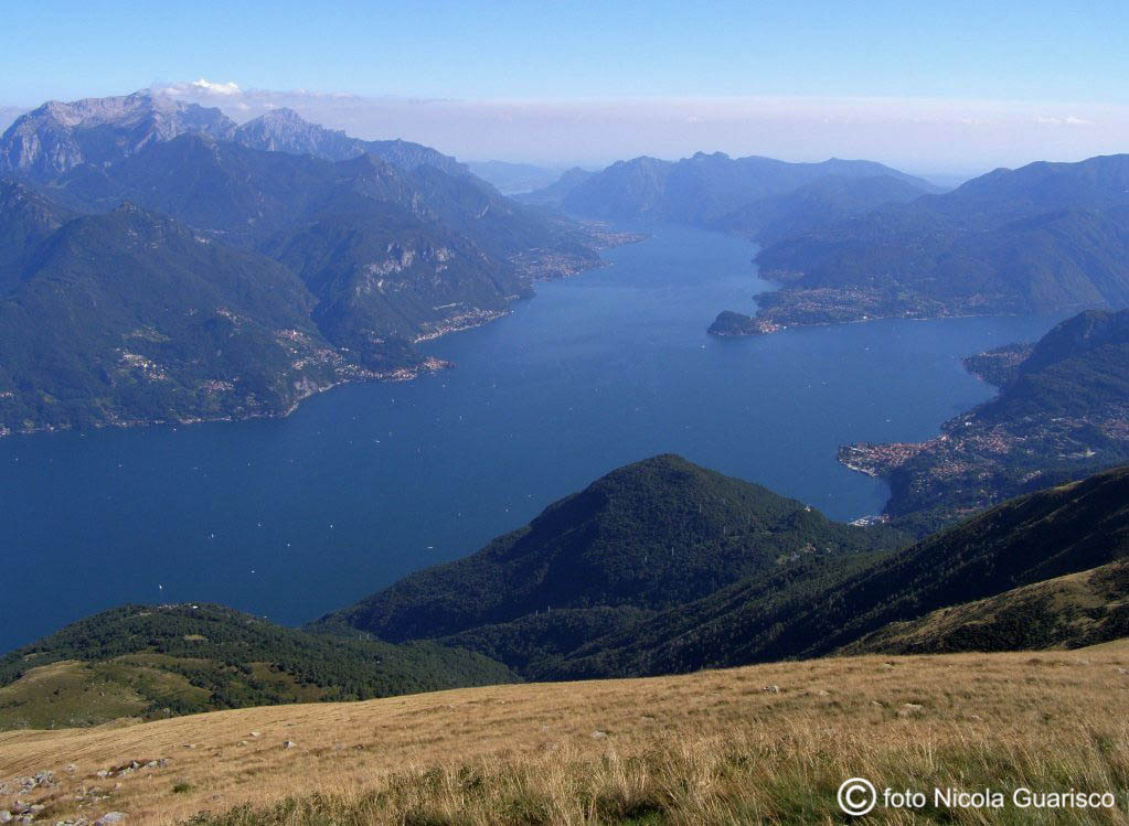
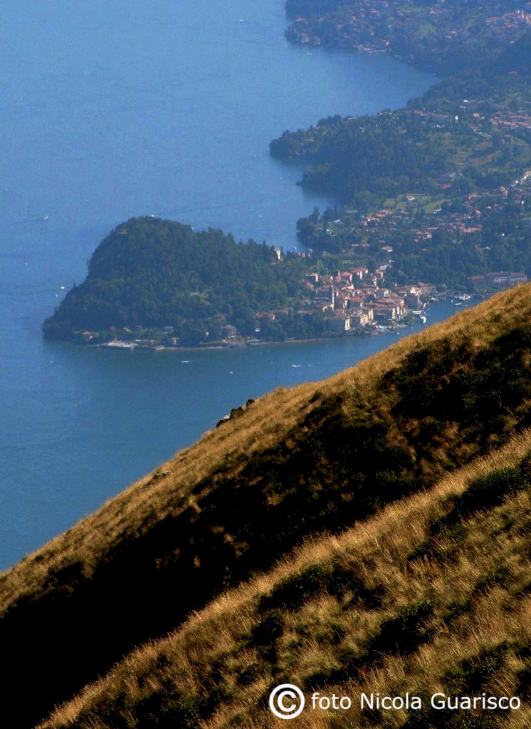
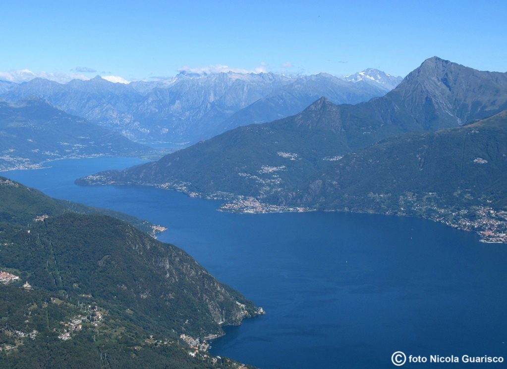
The Bregagno crag, at 2000 mt. of altitude, offers a spectacular view over most part of the Lario district. |
 |
|
Upper Lario. Up here, in total solitude, spirituality is no longer an abstract concept. Meditation, nostalgia, memories of the past, a world out of time. Lovers of classical music can easily recall the notes of Parsifal. |
 |
|
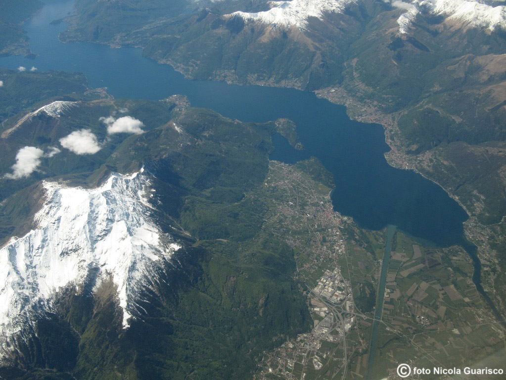
A shot of the entire western part of the lake taken while flying over the snowy peak of Mount Legnone. In the right: Pian di Spagna and affluent rivers. Left: Bellagio and the Comacina Island. |
 |
|
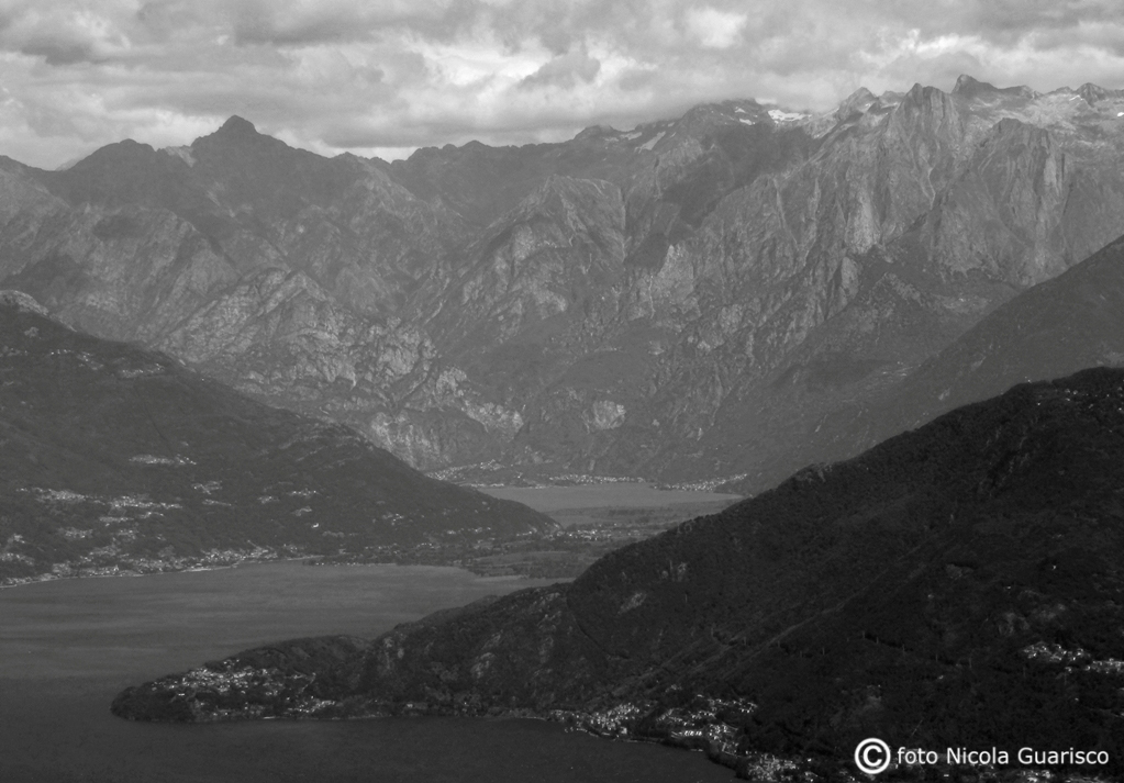
White and black are the colors that intensify the solemnity of the Alps, where Mount Manduino stands like a stone sentinel at the far end. It's the end of the Larian world. The small lake of Mezzola |
 |
|
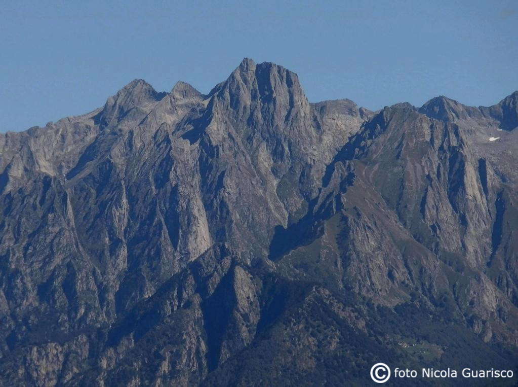
The Manduino (2888 mt.). |
 |
|
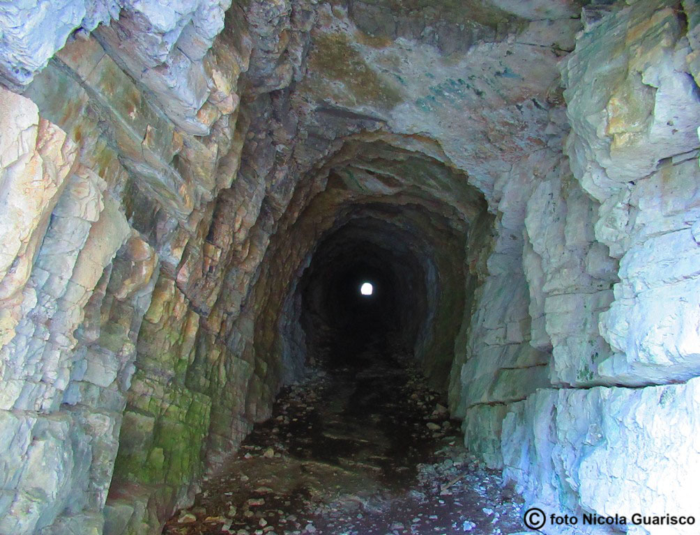
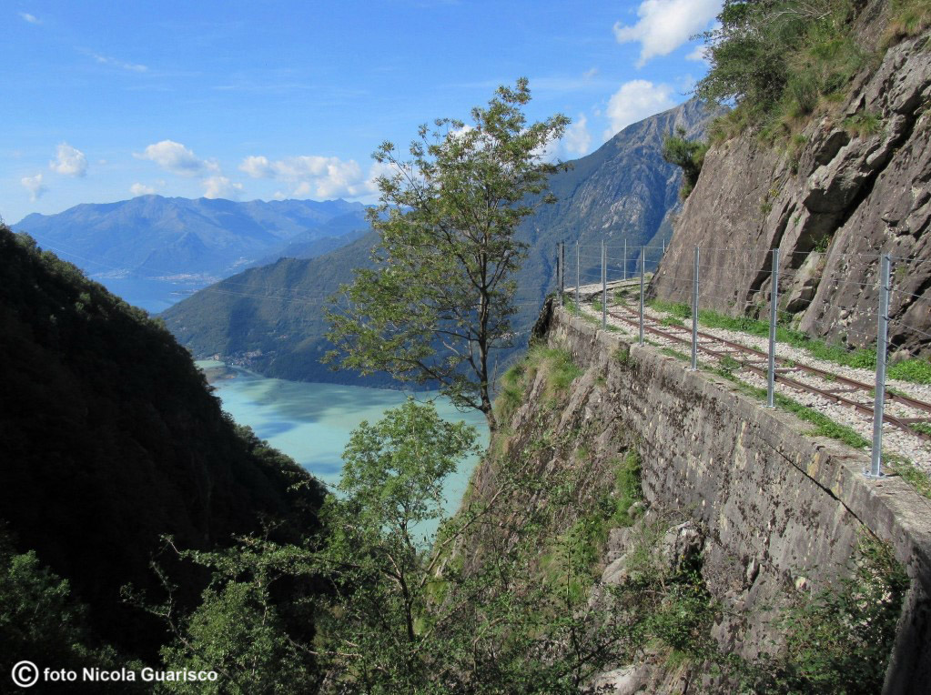
The "Tracciolino" trail, one of the most suggestive itineraries of this region, starts at the feet of the mountain called Sasso Manduino. The trail winds along the edge of the slope and continues through an area occupied by a railway structure that was once used by workers engaged in the construction the Val Codera dam. |
 |
|
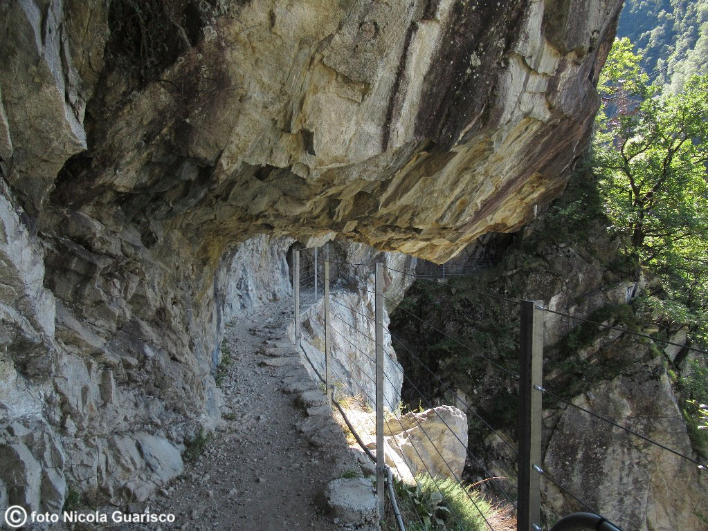
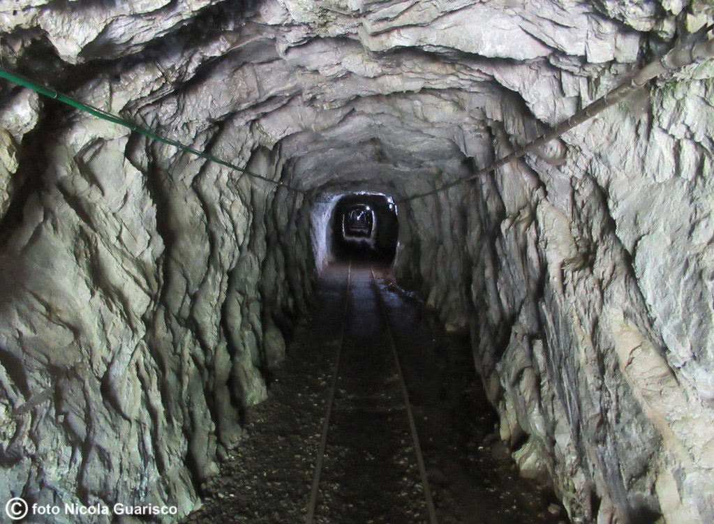
An adventurous trip along the "Tracciolino" trail as it runs under the rocks and continues through a series of tunnels, one of which is 300 m long. |
 |
|
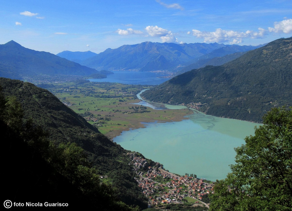
The variegated landscape that characterizes the farthest end of Lake Como viewed from the "Tracciolino" trail: Lake Mezzola in the foreground, the Mera River, Pian di Spagna and the Lario in the distance. We are about 70 km from Como, 120 km north of Milan and 60 km from the German-speaking region of Switzerland. The Valtellina and the Valchiavenna regions (you see here: Chiavenna) from where you can reach St.Moritz and the Splügen Pass, start here. |
